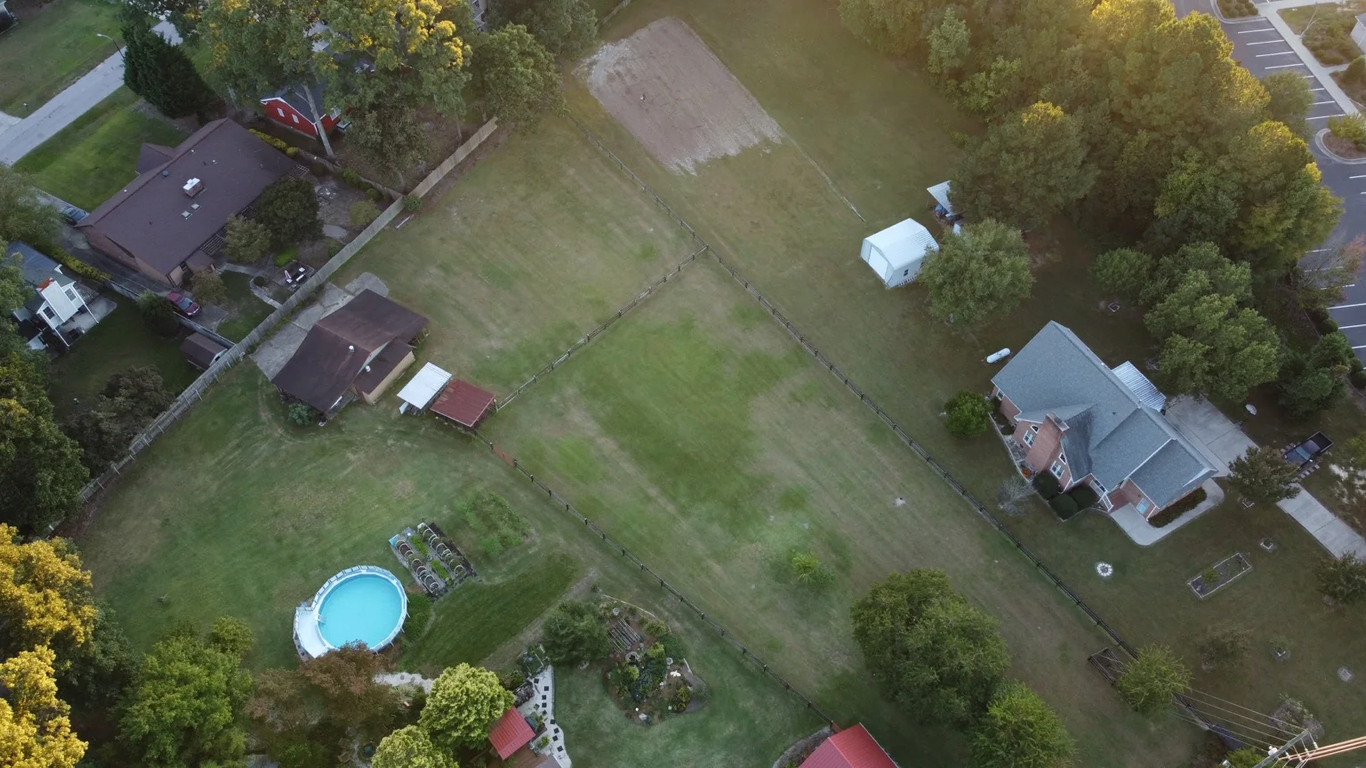
01
Real Estate & Land
Residential, commercial, acreage, listing imagery and property context.
PROFESSIONAL DRONE IMAGING & AERIAL SERVICES
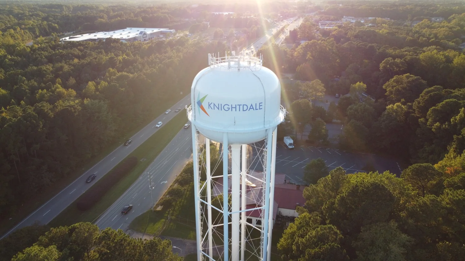
Professional drone photography, aerial video and technical site documentation for real estate, construction, property management, commercial sites, municipal work and custom missions across Raleigh, Knightdale and Wake County, North Carolina.
SPEARHEAD AERIAL
SpearHead Aerial provides drone photography and aerial video for projects throughout the Raleigh area and eastern Wake County. Every flight starts with the purpose of the job: what needs to be seen, documented, compared or presented. From a broad property overview to a straight-down site record, the flight plan and shot list are built around the deliverable.
SERVICES
Real estate drone photography, construction progress documentation, commercial aerial imaging, HOA and property records, municipal work and custom aerial missions. Simple scope, clear deliverables and professional capture.
Residential, commercial, acreage, listing imagery and property context.
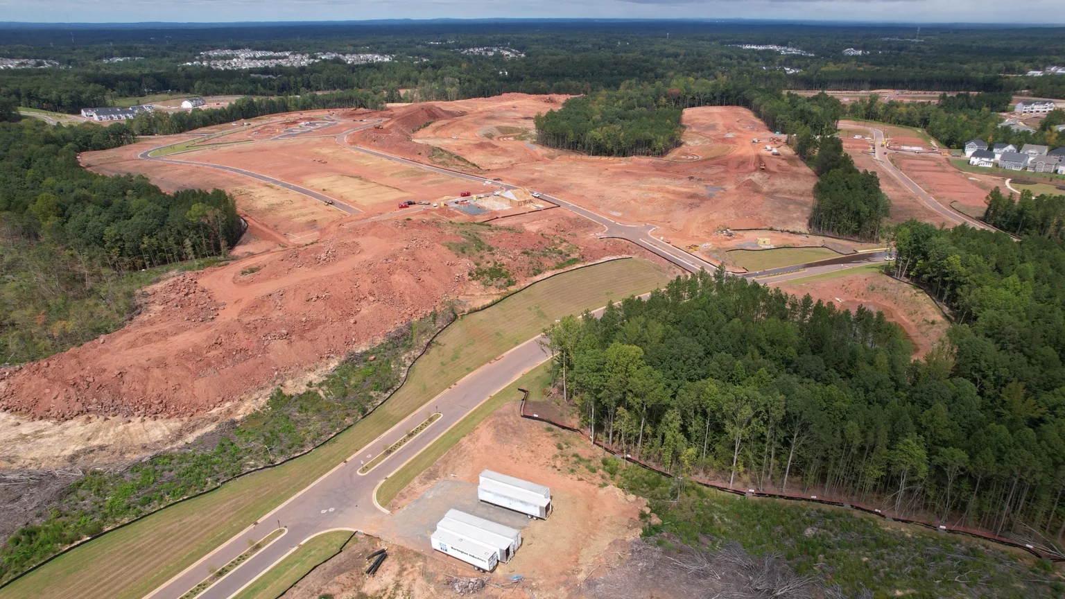
Milestone captures, site conditions, progress documentation and stakeholder updates.
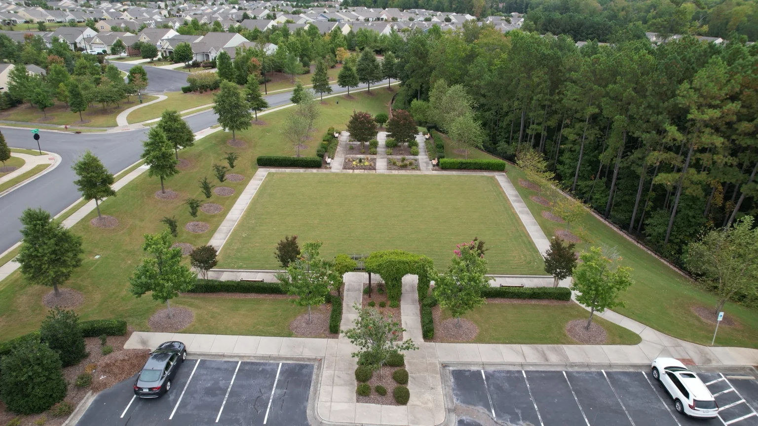
Amenities, common areas, grounds, roofs, drainage and visual records.
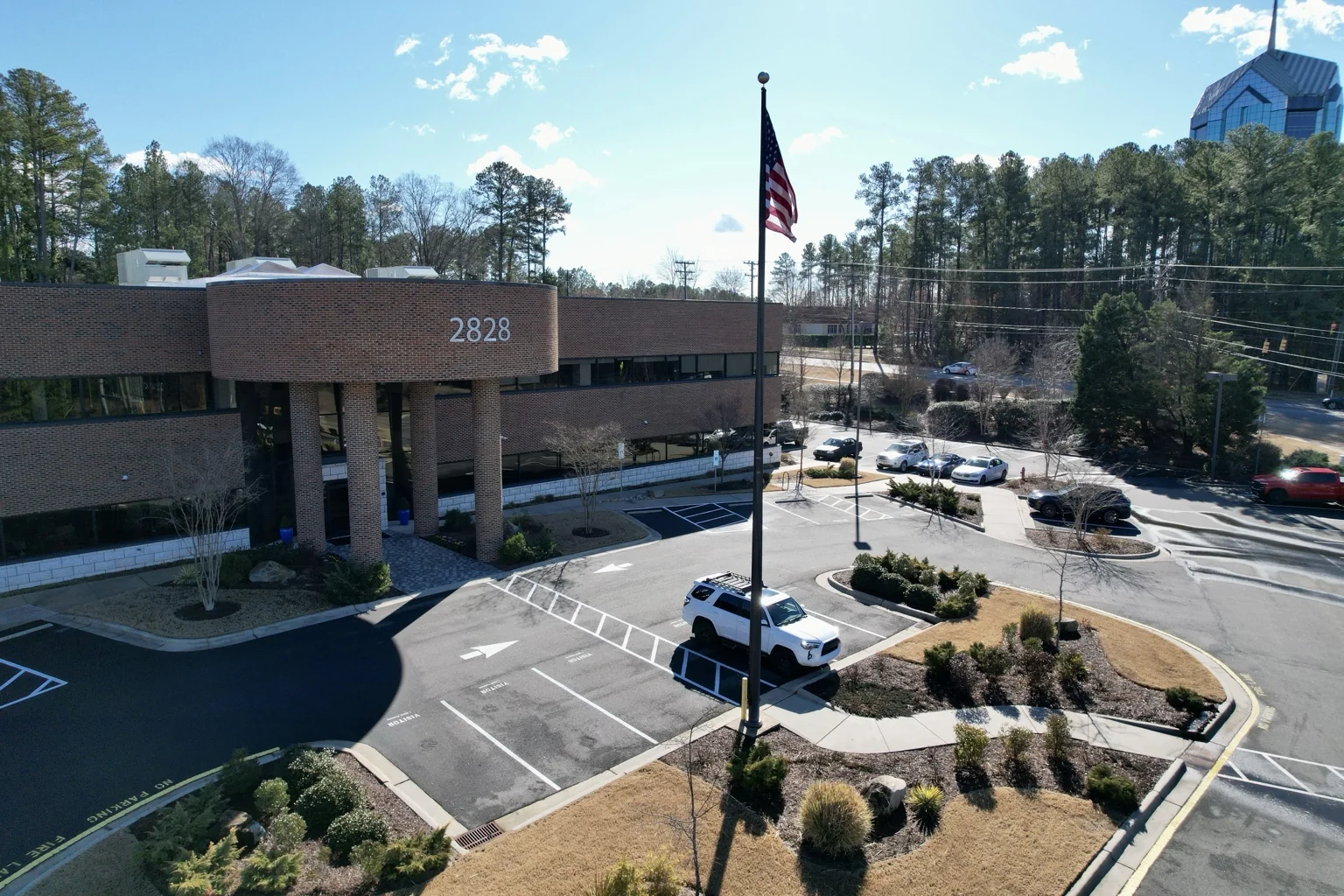
Facilities, corridors, public assets, community context and documentation.
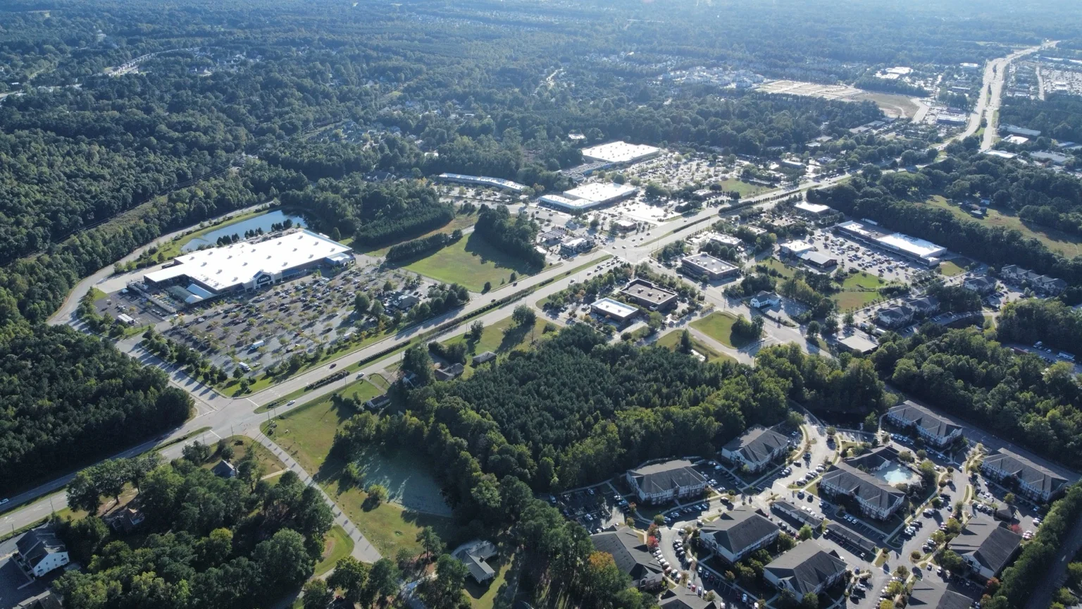
Campuses, retail, industrial sites, access routes and marketing coverage.
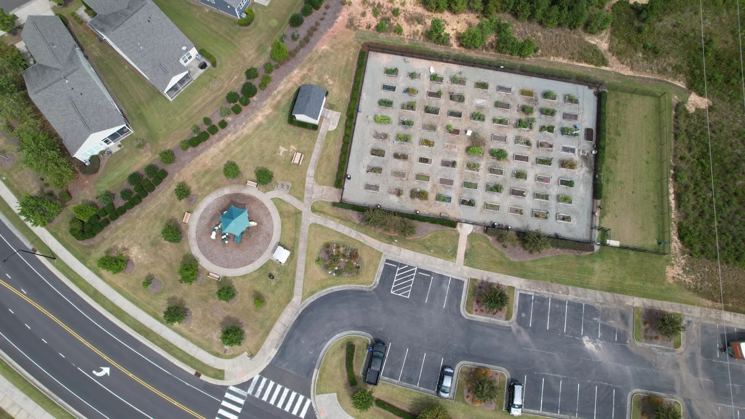
Tell us what needs to be seen. The flight and shot list follow the objective.
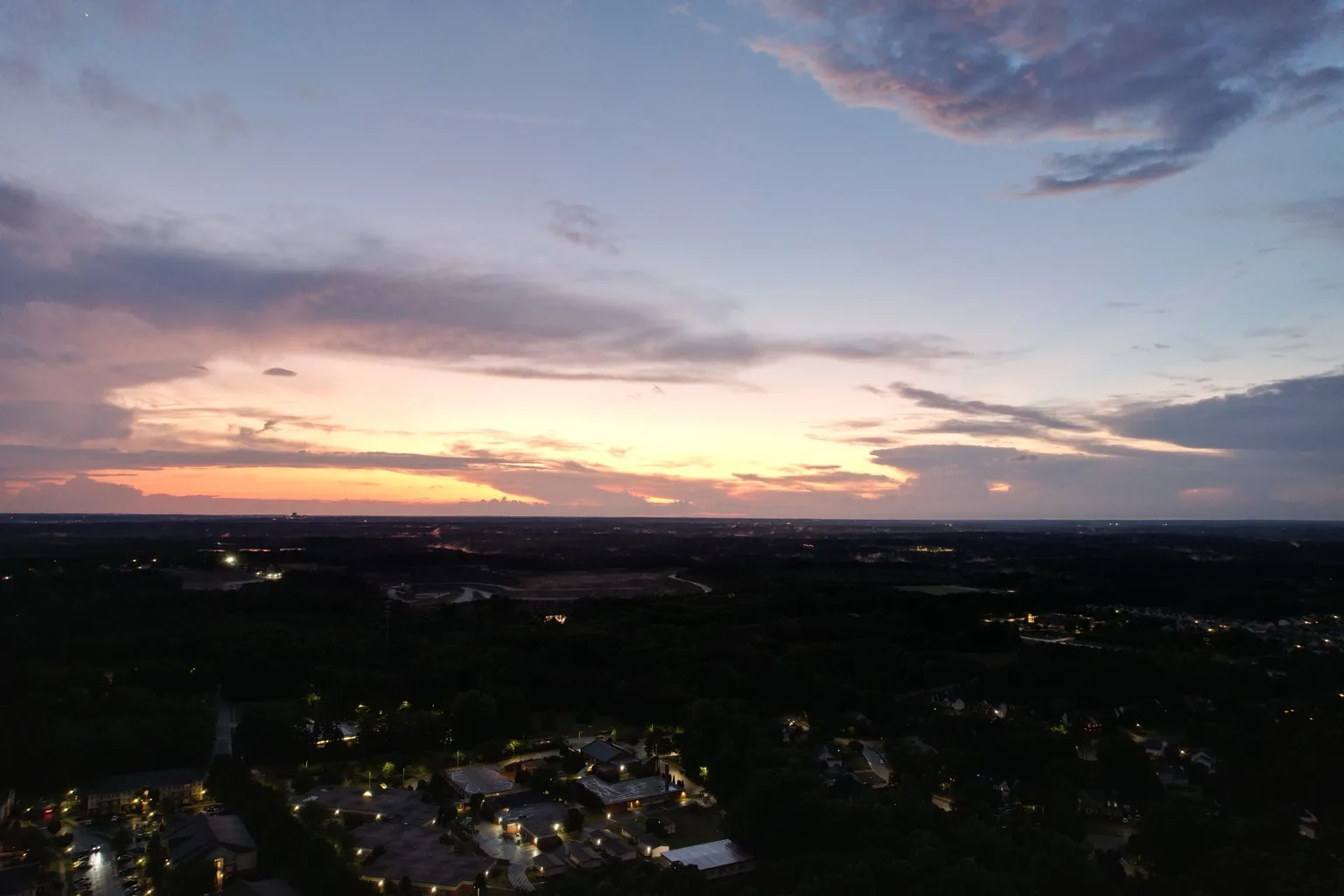
FEATURED FLIGHT
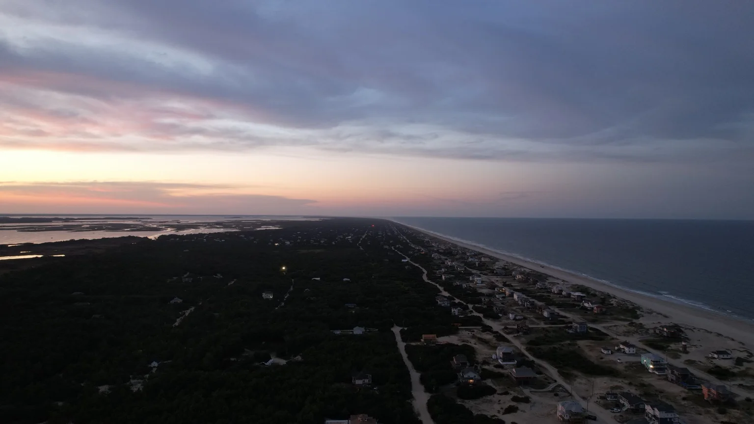
A short reel of actual flight work showing weather perspective, construction and site documentation, and coastal aerial imagery. Aerial video adds movement, scale and context that still photographs cannot provide.
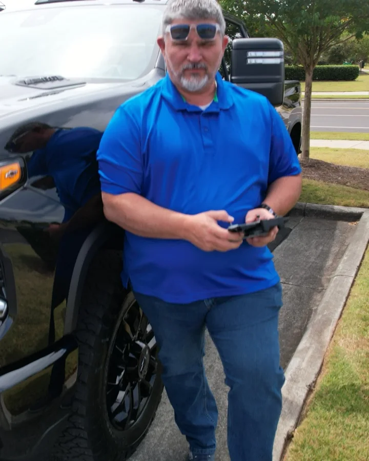
EXPERIENCE BEHIND THE CONTROLS
The flight experience began in Youngsville, North Carolina in 2010 and includes aerial photography, video, property overviews, site documentation and creative flight work.
COMMERCIAL OPERATIONS
Commercial missions are planned around applicable airspace, weather, site conditions and safe flight operations.
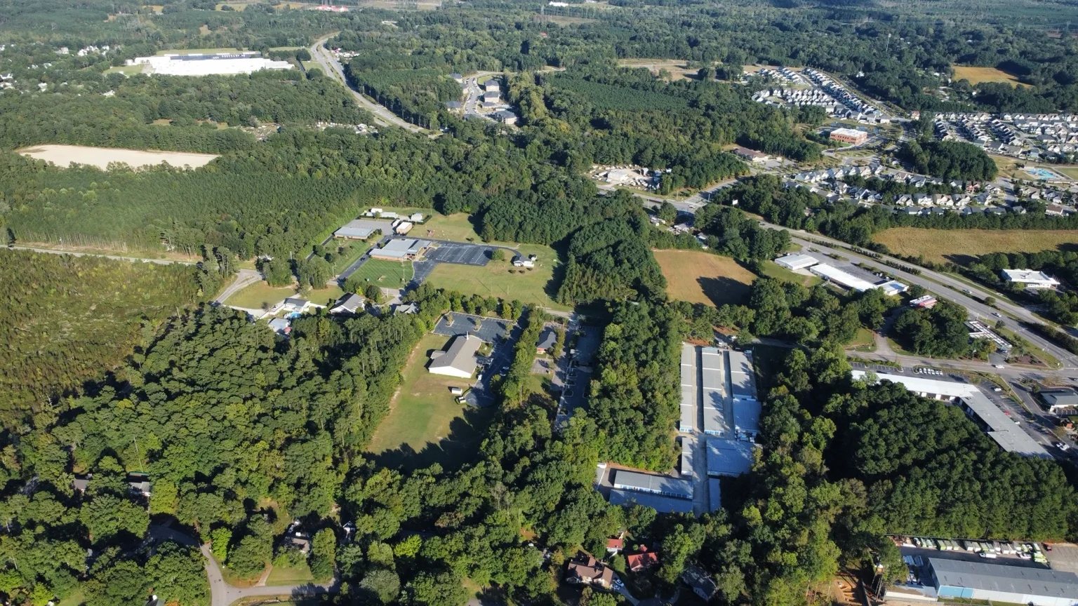
PERSPECTIVE MATTERS
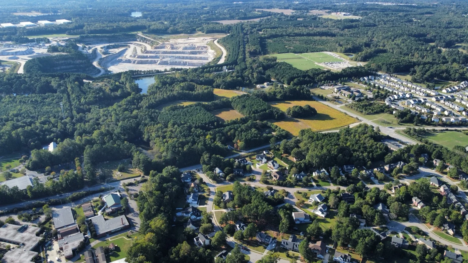
ACTUAL SPEARHEAD AERIAL WORK
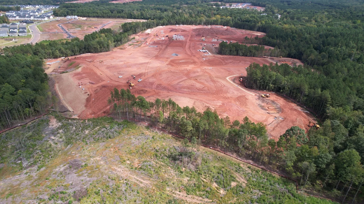
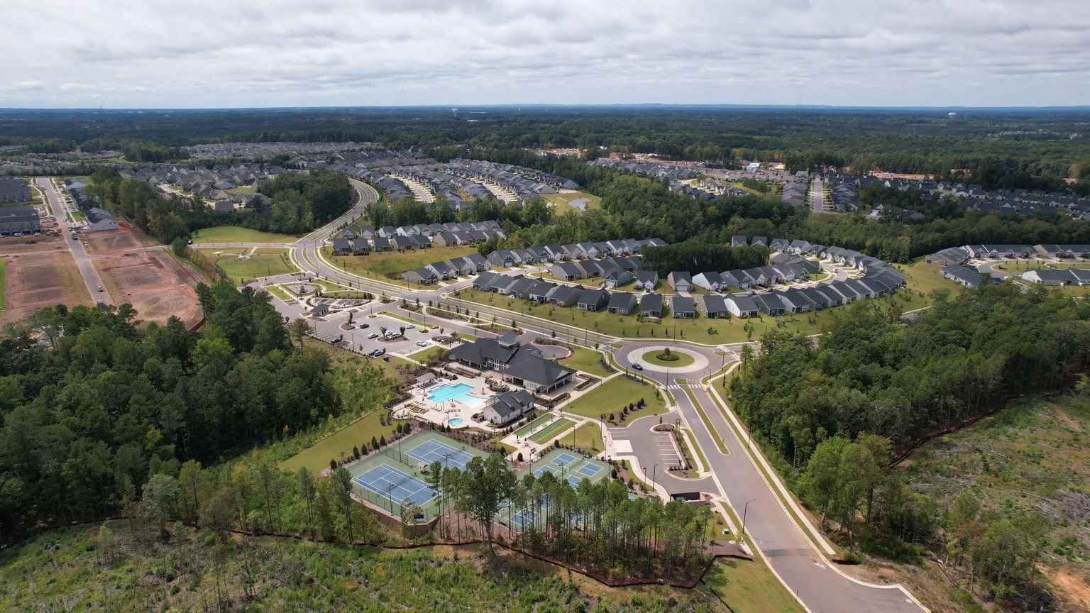
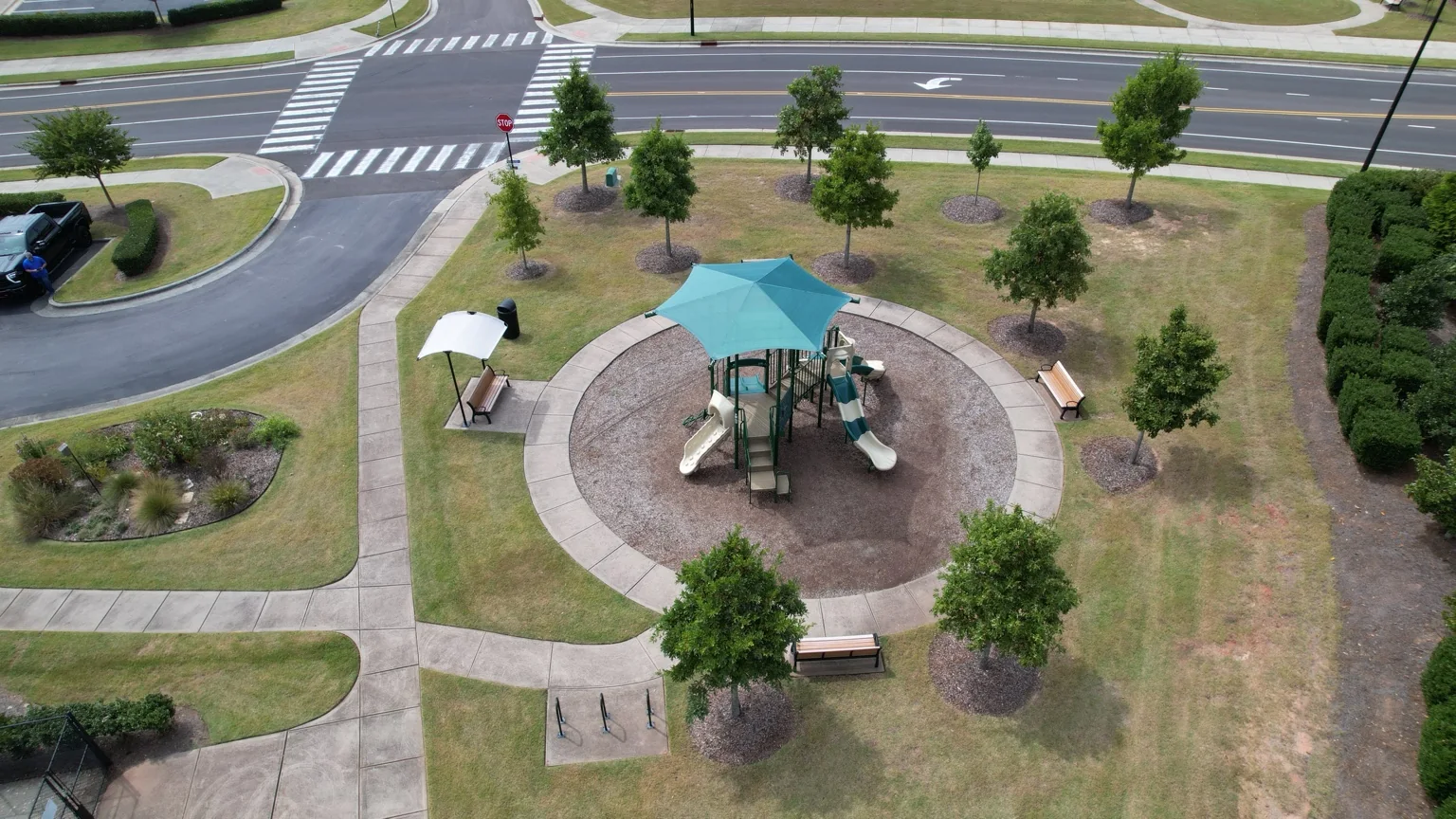
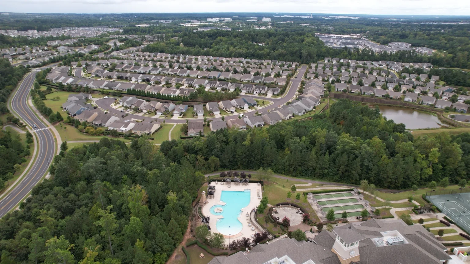
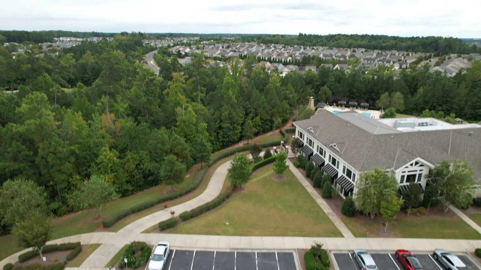
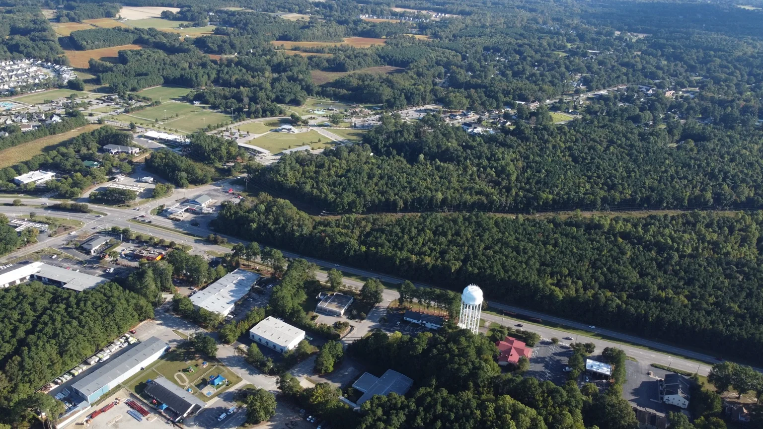
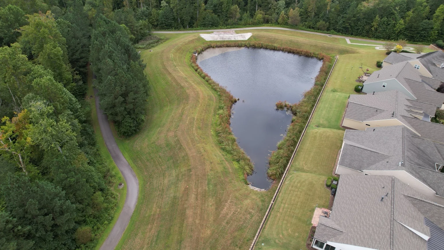
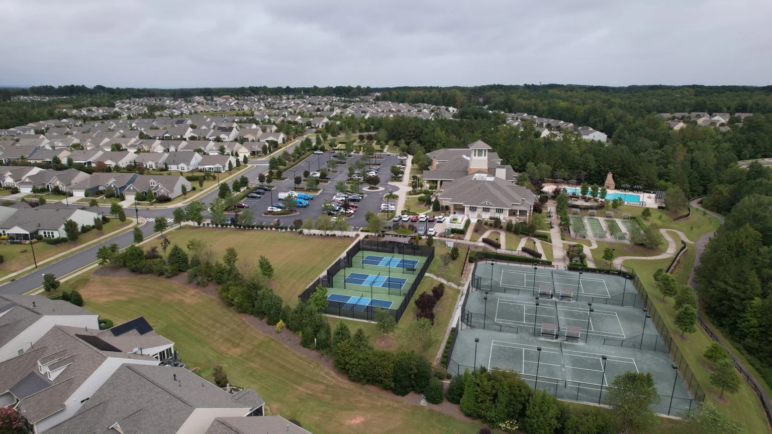
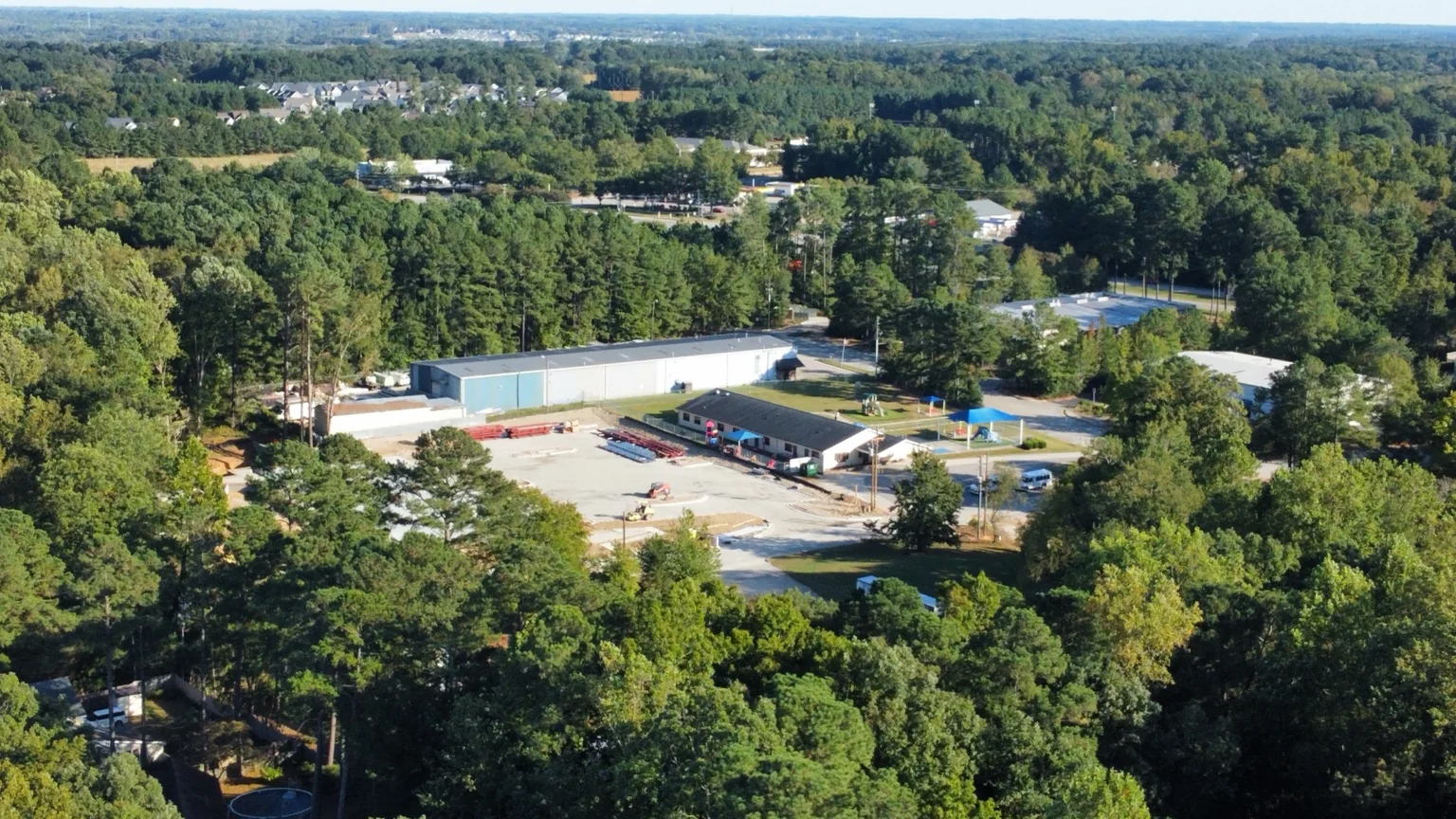
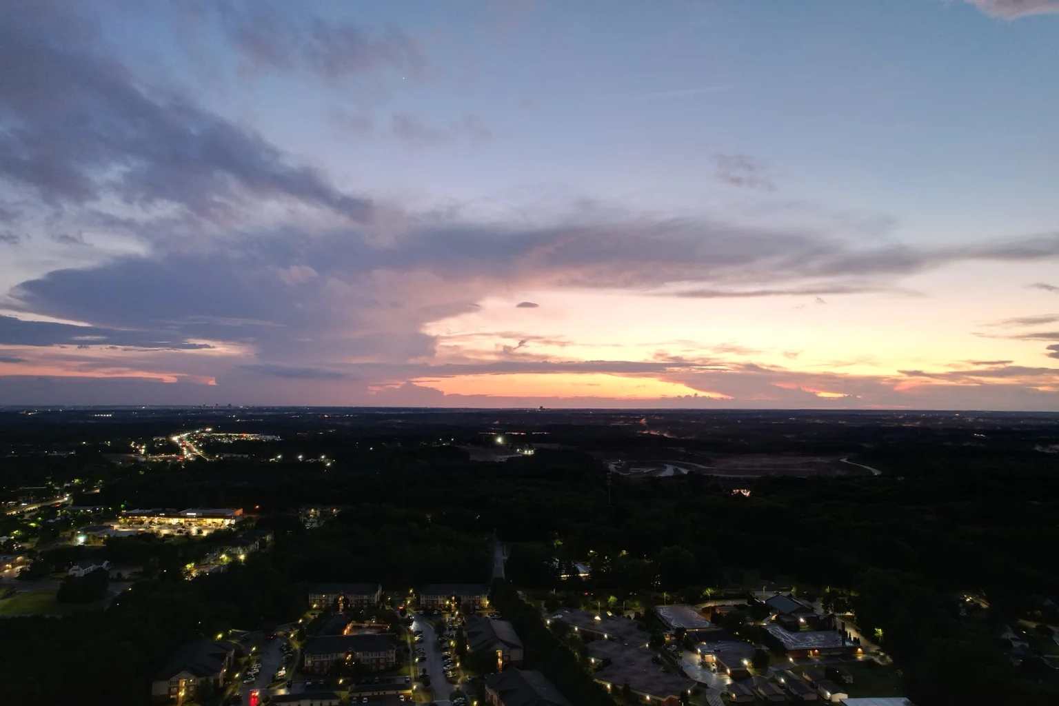
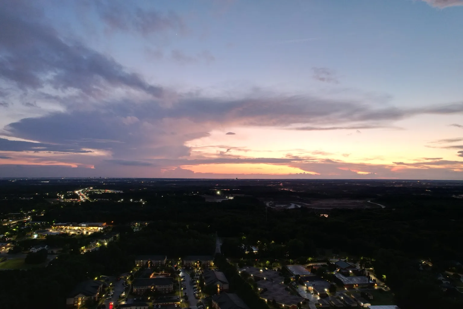
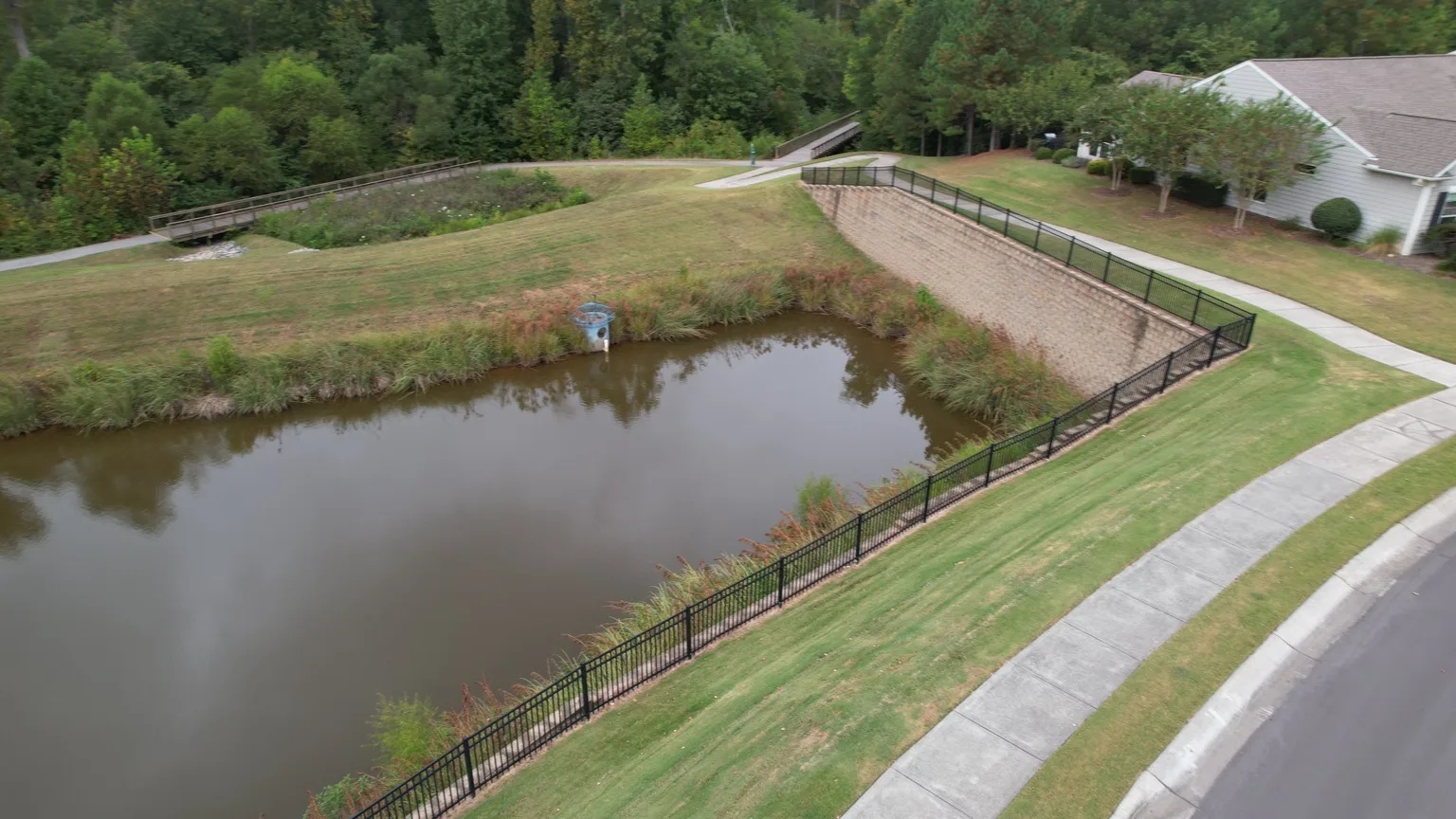
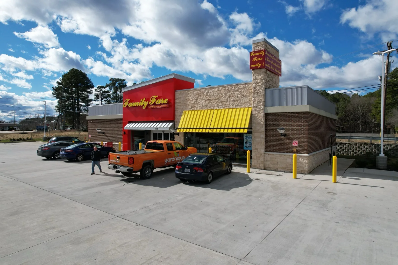
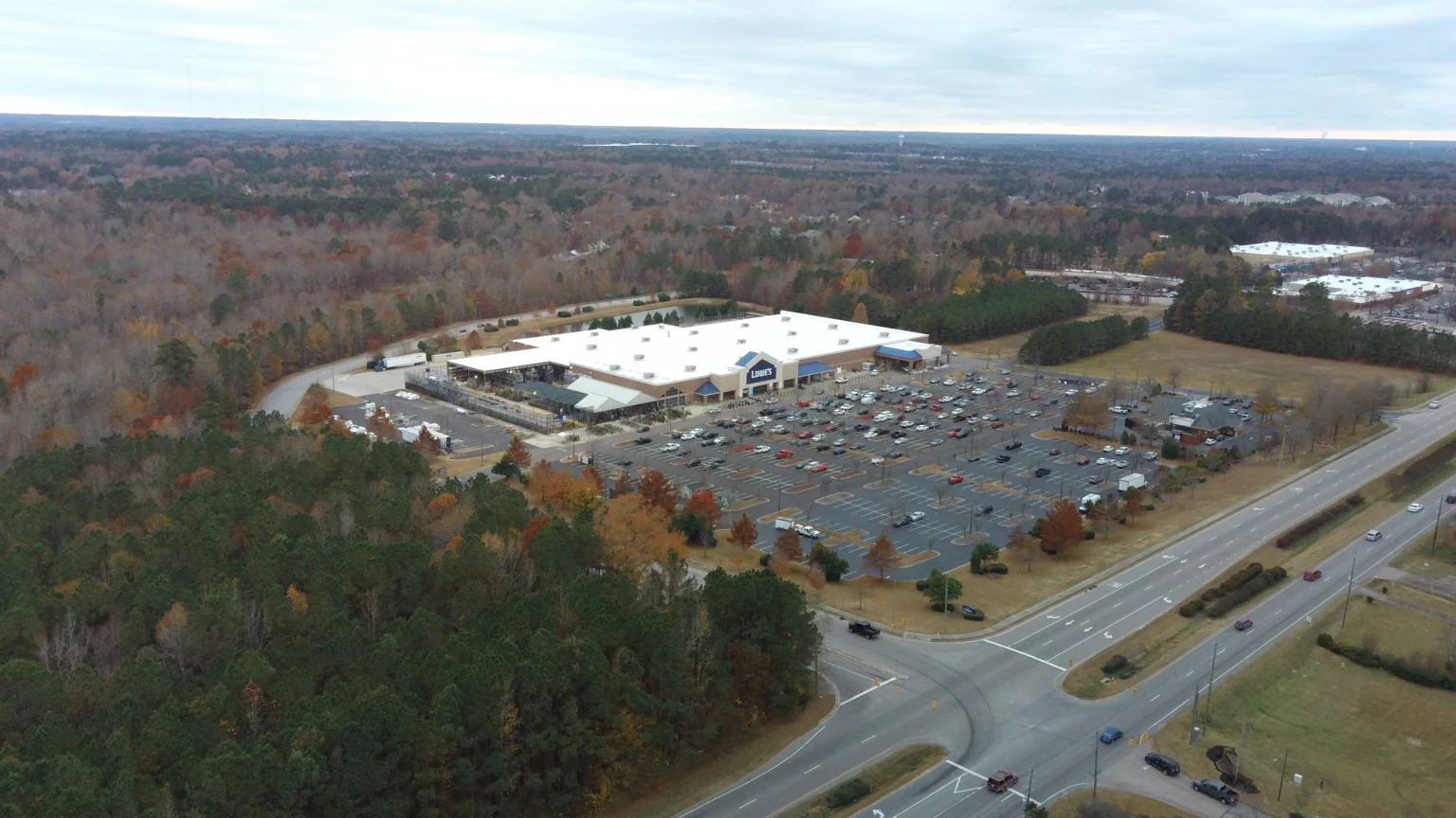
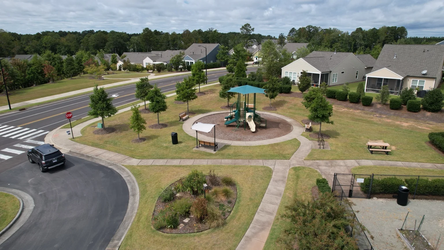
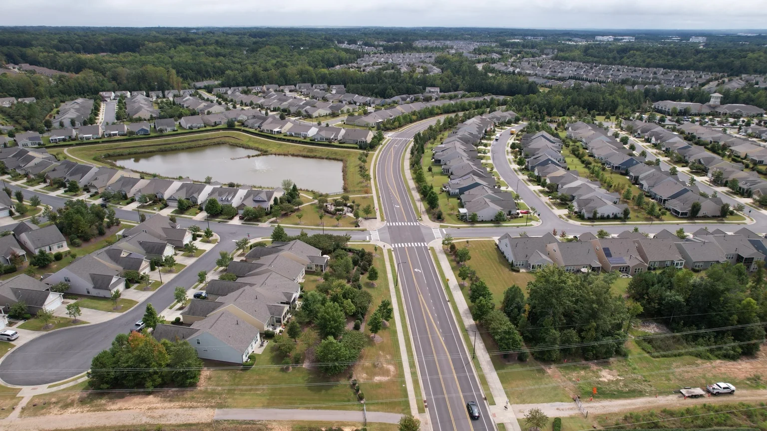
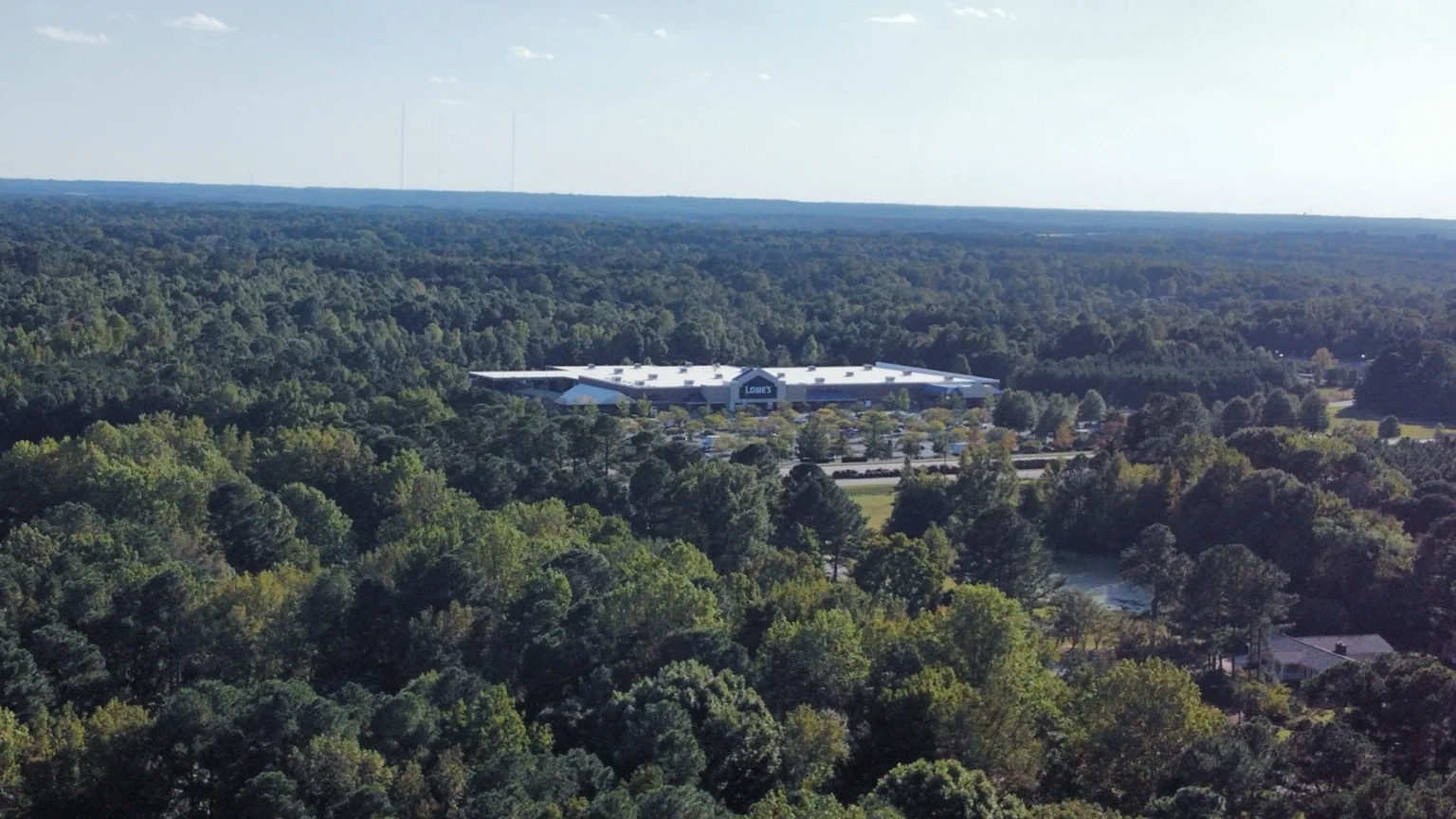
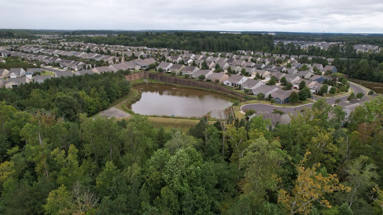
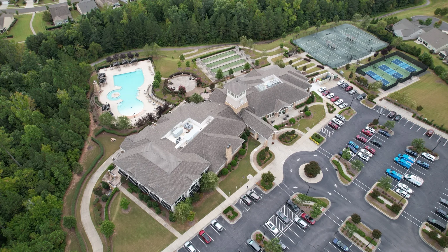
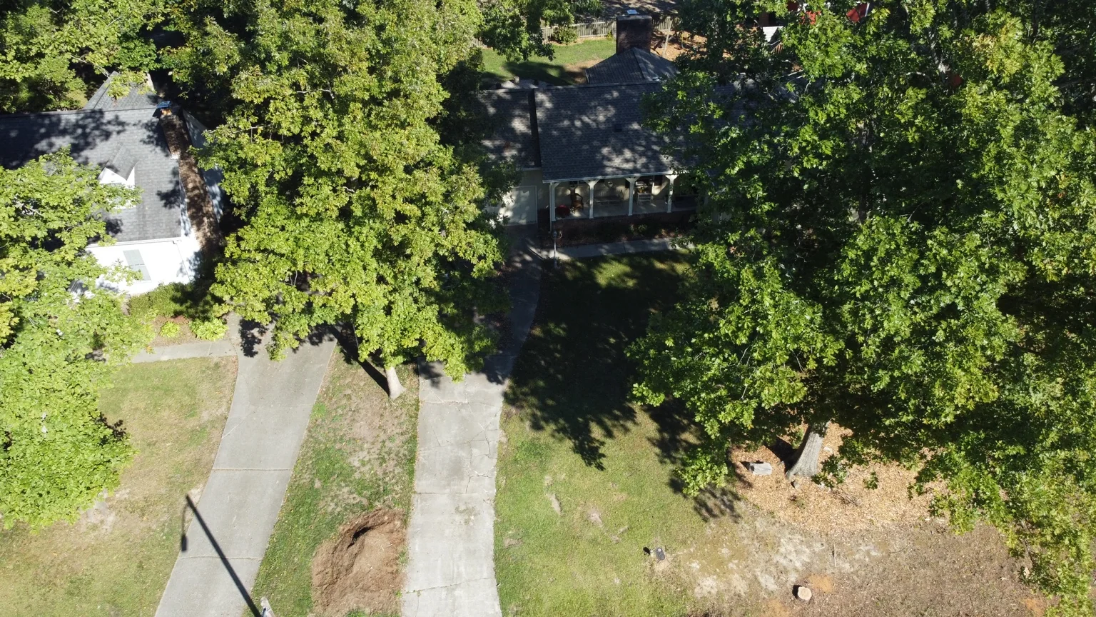
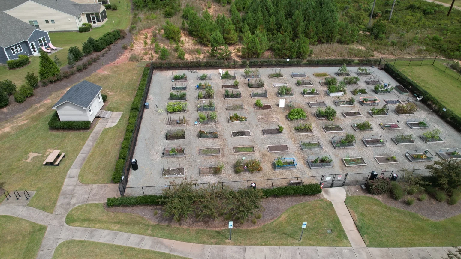
A selection of aerial work across property, construction, community and infrastructure projects. Tap or click any image to enlarge it.
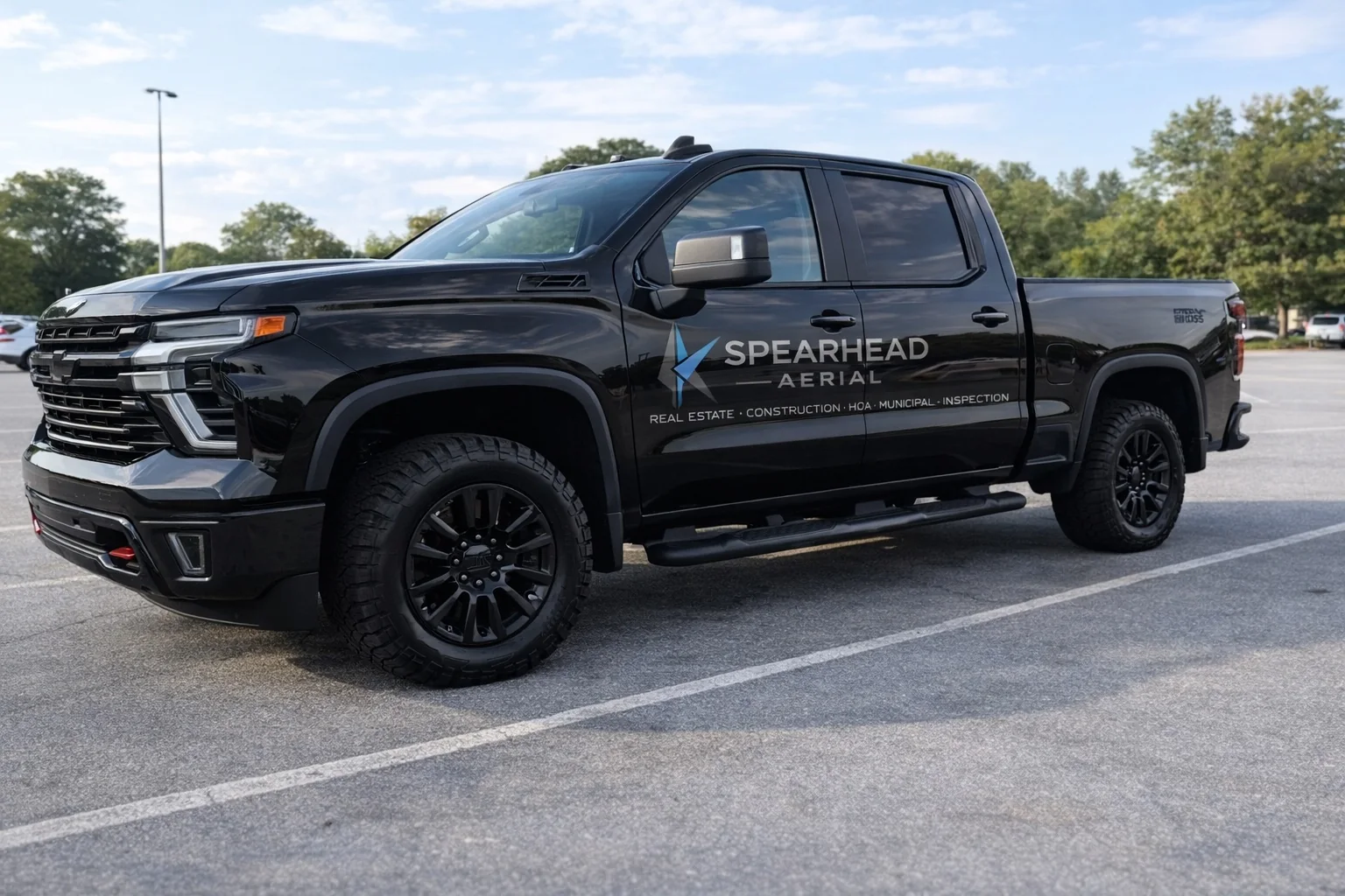
ON THE GROUND
SpearHead Aerial is positioned as a technical aerial-services provider—not a generic photography page. The site, vehicle branding and service mix all reinforce the same commercial identity.
SIMPLE PROCESS
Location, subject, intended use, timing and deliverables.
Airspace, weather, site conditions, launch point and shot list.
Purpose-driven stills and video from the angles the job requires.
Organized files ready for stakeholders, marketing or project records.
REQUEST A QUOTE
Send the project details below. SpearHead Aerial will review the mission and respond with the next step.
Serving Raleigh, Knightdale, Wendell, Wake Forest, Garner, Zebulon, Clayton and surrounding Wake County and Triangle-area communities in North Carolina. Travel and custom projects considered.